
 Image 1 of 3
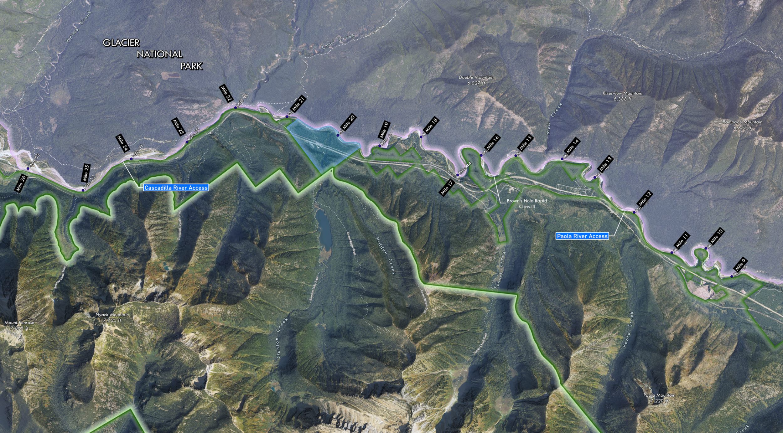 Image 2 of 3
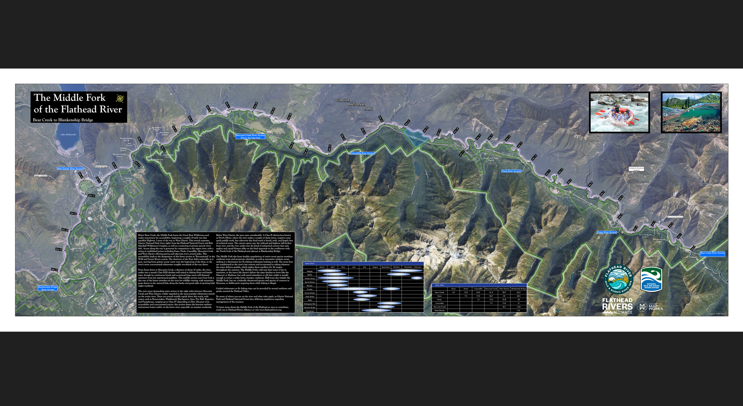 Image 3 of 3
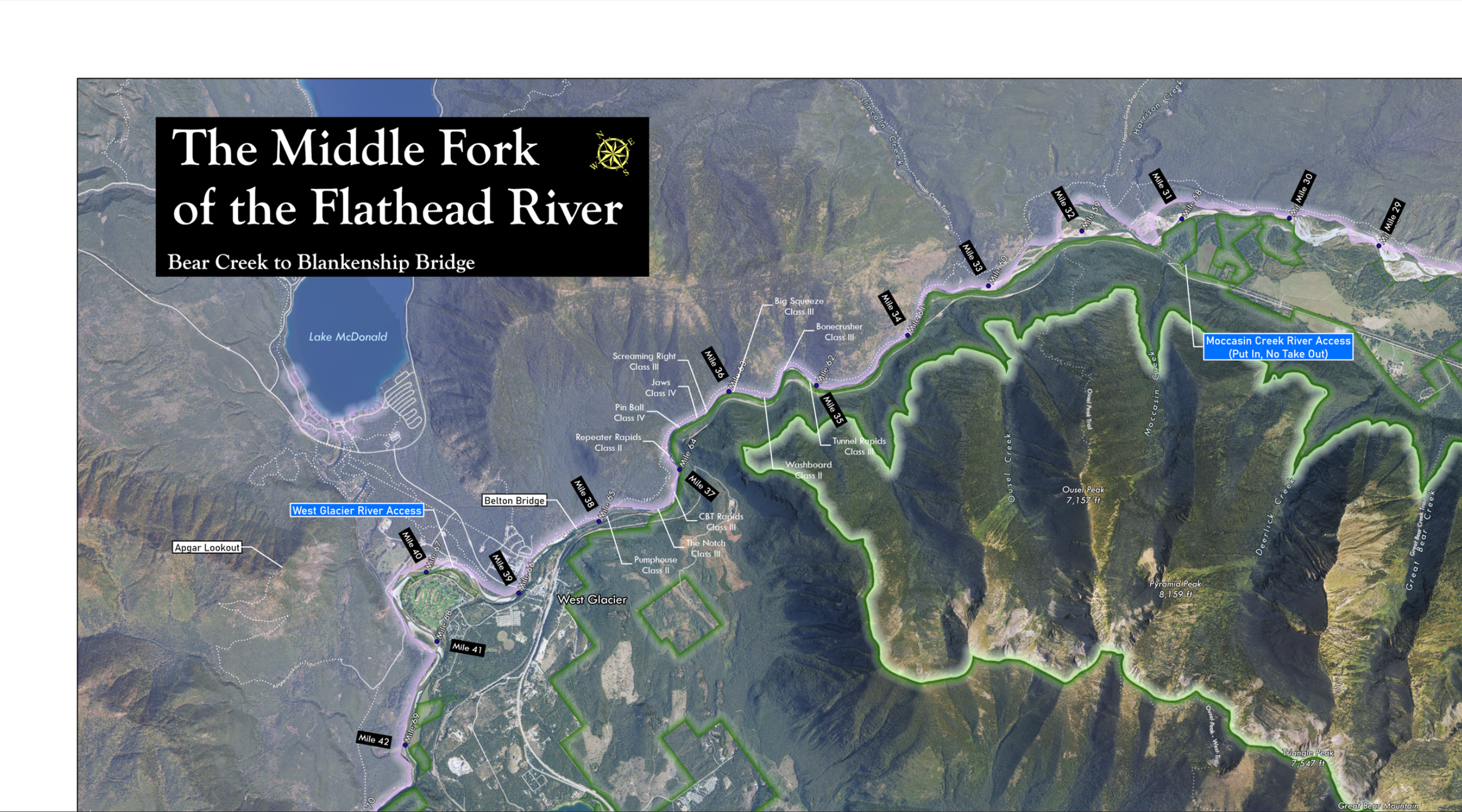
Explore the Lower Middle Fork of the Flathead River like never before with this large-format, high resolution map, designed for anglers, floaters, and other river enthusiasts. This map displays river miles along the length of the Lower Middle Fork corridor, from the put-in at the Bear Creek access point near Highway 2 downstream to Blankenship Bridge near West Glacier.
River miles, rapids, trails, mountains, and other points of interest are clearly highlighted throughout, along with an easy to read table of mileage between access points and an insect hatch chart for fly fishing. Whether you're planning your first float or your fiftieth, this map gives you the detail and context to make the most of every trip, or in remembrance of a great trip.
The Lower Middle Fork measures at 17×48 inches and is printed on high-quality satin photo paper with archival inks, making for a long-lasting display and repeated use; a must-have for anyone who loves the river or Great Bear Wilderness.
Explore the Lower Middle Fork of the Flathead River like never before with this large-format, high resolution map, designed for anglers, floaters, and other river enthusiasts. This map displays river miles along the length of the Lower Middle Fork corridor, from the put-in at the Bear Creek access point near Highway 2 downstream to Blankenship Bridge near West Glacier.
River miles, rapids, trails, mountains, and other points of interest are clearly highlighted throughout, along with an easy to read table of mileage between access points and an insect hatch chart for fly fishing. Whether you're planning your first float or your fiftieth, this map gives you the detail and context to make the most of every trip, or in remembrance of a great trip.
The Lower Middle Fork measures at 17×48 inches and is printed on high-quality satin photo paper with archival inks, making for a long-lasting display and repeated use; a must-have for anyone who loves the river or Great Bear Wilderness.