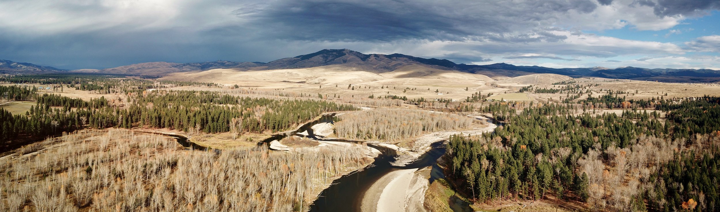
UAS Remote Sensing
With over 8 years of piloting unmanned aerial systems for natural resource mapping and monitoring, we have the equipment and experience to meet your needs. FAA certified and familiar with environments and challenges related to natural systems mapping and data collection.
GIS Analysis and Cartography
We have over 15 years of GIS experience in natural resource mapping, aerial photo interpretation, water rights analysis, cadastral data and remote sensing. We create accurate maps for permitting, UAS orthomosaics, and elevation models. Custom maps can be requested for specific needs or audiences.
River Maps
Spatially accurate maps with added features for when you’re trip planning, thinking about the last fish you landed, or jonesing for a day on the water.
Have a resource you need mapped or a custom map created?